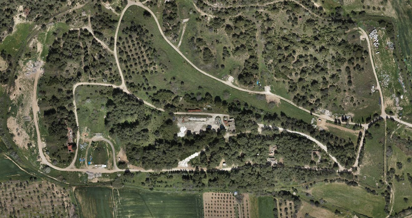
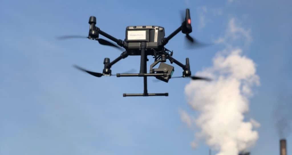
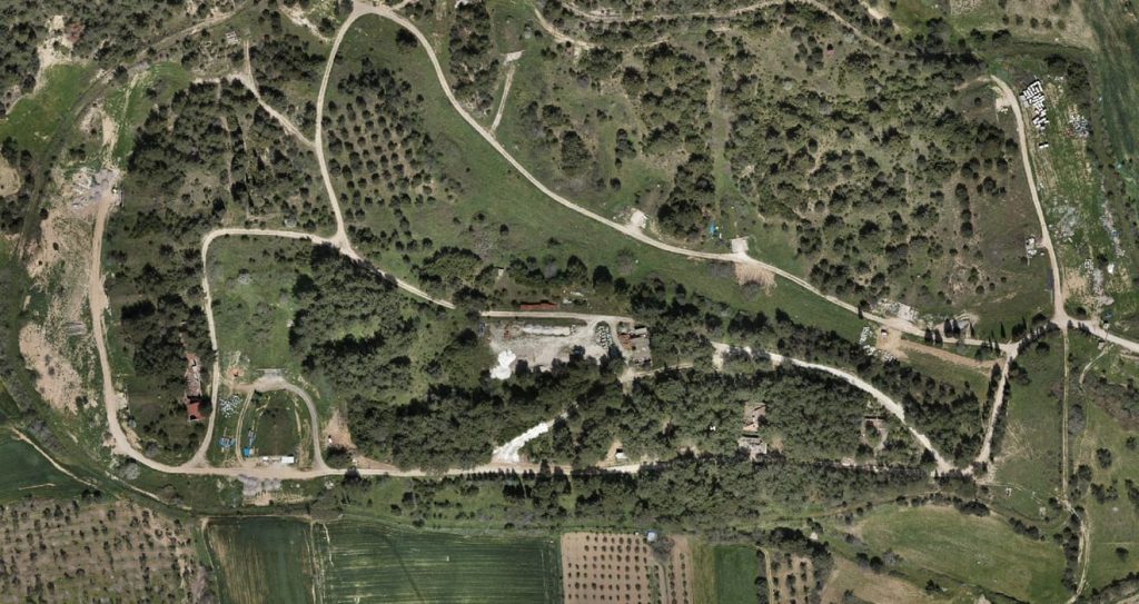
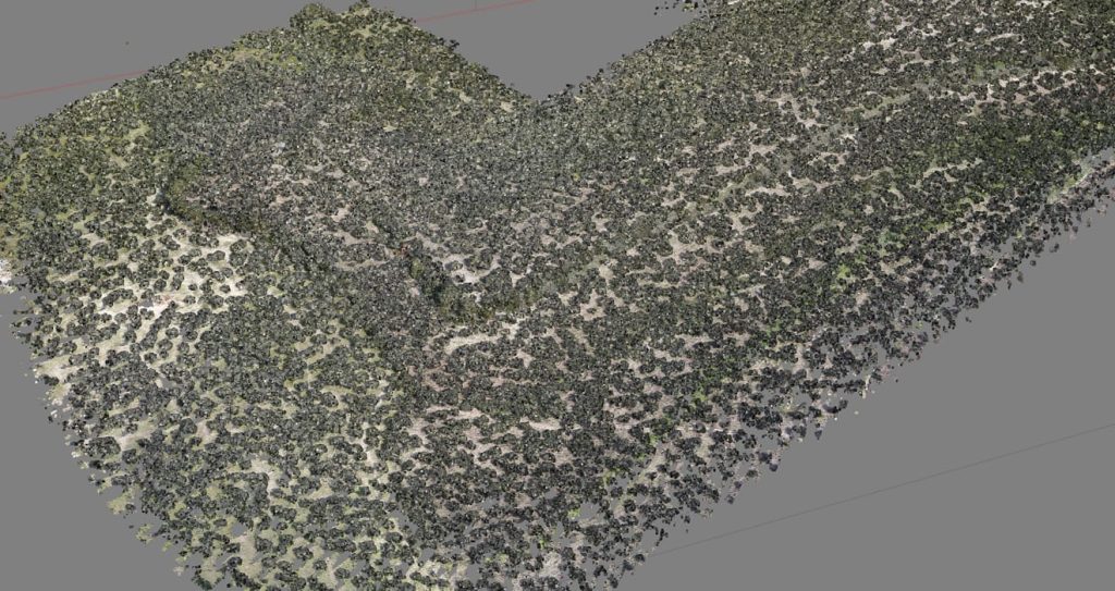
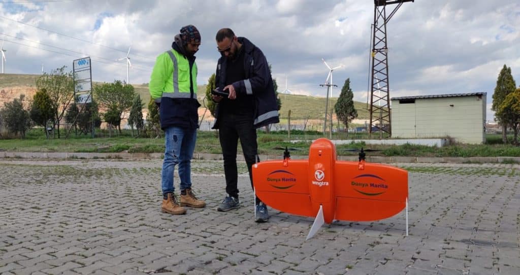
UAV Photogrammetry is a method of measuring and mapping the position, size, shape and other physical properties of objects through aerial photographs. Thanks to the DJI Matrice 300 RTK rotary wing UAV and Wingtra fixed wing UAVs in our inventory, it is possible to easily and with high accuracy to produce large-area survey maps, create terrain models and produce orthophotos. In addition, Lidar data is collected with the L1 camera. Thanks to Lidar, topography in forested areas and bushy areas can be easily obtained.
Photogrammetry is often a fundamental technique in many fields such as engineering, cartography, urban planning, architecture and archaeology.