A digital state-of-the-art map is a map that shows the current state of a region and its topographic, physical and structural features in a digital environment in a detailed way in scale. Such maps are produced in accordance with the Regulation on Large Scale Map and Map Information Production (BÖHHHBÜY).
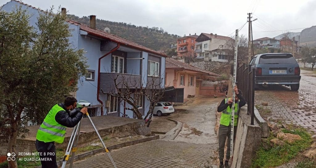
Digital survey maps are used as a basic data source in areas such as urban planning, engineering, infrastructure and superstructure projects. The state-of-the-art maps are produced in accordance with national standards. Terrain maps are produced by terrestrial, lidar and photogrammetric methods.