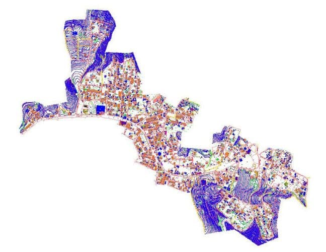
Digital base maps are maps that show the current status of a region and its topographic, physical and structural features in a detailed, digitally scaled manner.

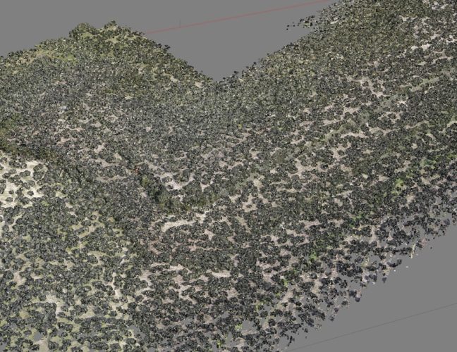
UAV Photogrammetry is a method of measuring and mapping the location, size, shape and other physical properties of objects through photographs taken from the air.

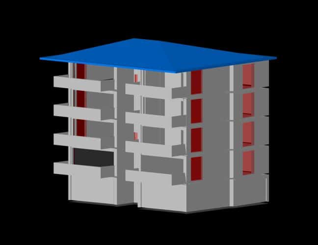
Today, obtaining a 3D model of the earth's surface, urban structures, topographic shapes or any object forms the basis of many scientific studies and commercial activities.

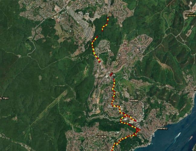
Deformation measurements are precise measurements made periodically to detect movements or shape changes that may occur over time due to various reasons on structures and surfaces.

WİNGTRA İHA VE FOTOGRAMETRİK

DJİ M300 RTK LİDAR VE FOTOGRAMETRİK

LİDAR KAMERA

FOTOĞRAFİK KAMERA

LASER SCANNER FARO FOCUS 3D X330

MULTIKOPTER

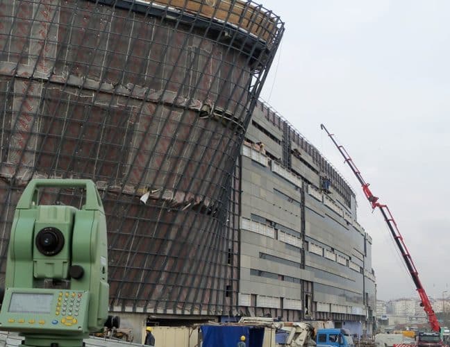
TOTALSTATİON

TOTALSTATİON

TOTALSTATİON

TOTALSTATİON

GPS-GNSS

MULTİ-BEAM ECHOSOUNDER SİSTEMİ

MULTİ-BEAM MOTION SENSOR

MULTİ-BEAM GYROCOMPASS

MULTİ-BEAM SOUND VELOCİTY METER

MULTİ-BEAM ÖLÇME BİLGİSAYARI

SİNGLE-BEAM ECHO SOUNDER SİSTEMİ

SİNGLE-BEAM SCANNİNG SONAR

HAREKETLİ SABİT ADP

DİJİTAL NİVO

OTAMATİK NİVO